How to Measure a Lawn on the Map
Use this workflow when the lawn or project area does not fit a simple length × width estimate.
Find the property
Search a US address or use your current location. The map opens centered on the property.
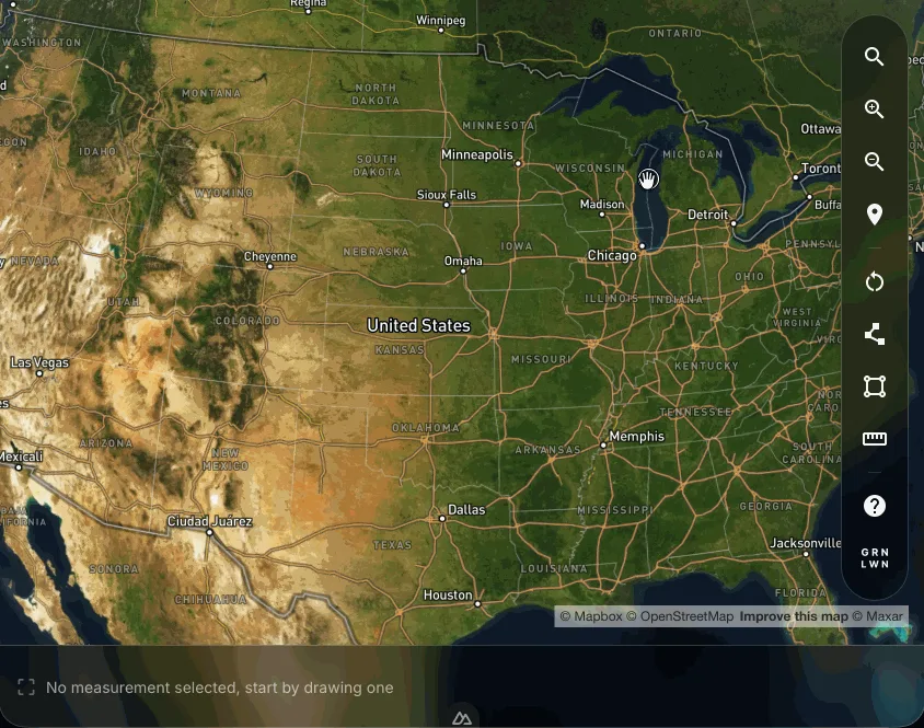
Confirm the map opened on the correct property before you draw. Trace the area you need
Choose the drawing tool that matches the boundary you can see.
Include only the lawn or project area the job will cover.
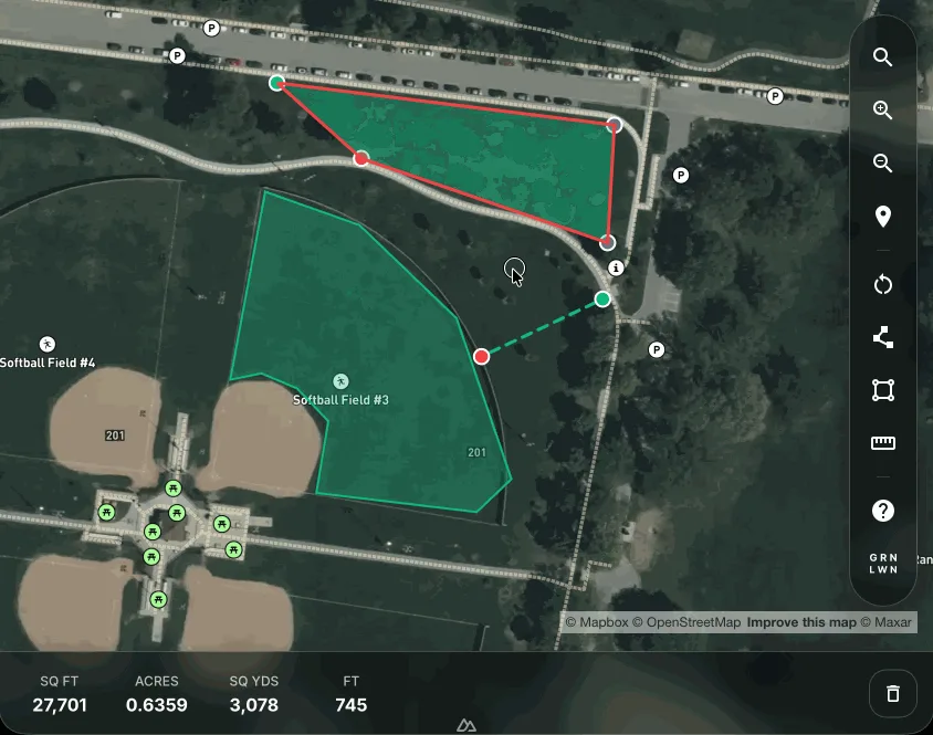
Irregular and curved areas Use the polygon tool
Place points around curves and corners, then close the shape.
Simple rectangular areas Use the rectangle tool
Place two opposite corners when length and width describe the section well.
Check the result
Area shapes show square feet, acres, square yards, and perimeter. Distance measurements show straight-line length.
Review the outline before using the number for an order, schedule, or quote.
Distance, redraw, and sharing
Measure a straight-line distance
Check a wall run, border, access path, or any span where length matters more than area.
Clear the map and redraw
Remove a wrong boundary or start on a different part of the property.
Share a measured area
Create a link that opens the same outline and measurements for someone else to review.